

A circular upland route from the edge of Llanfairfechan
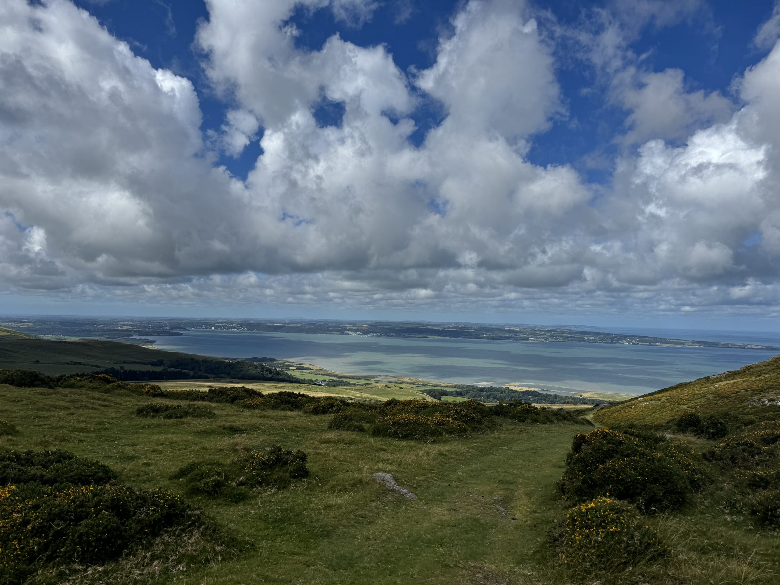
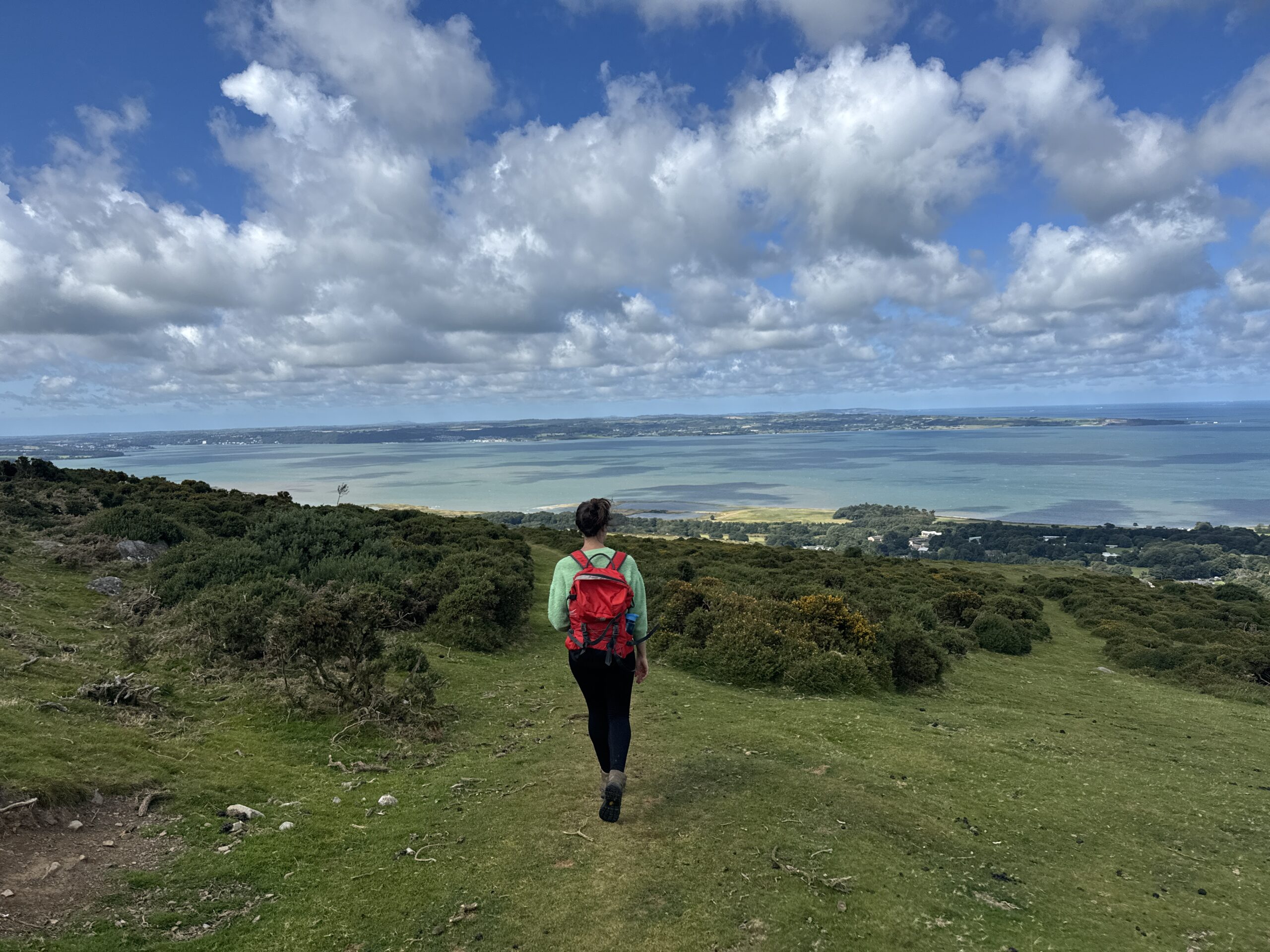
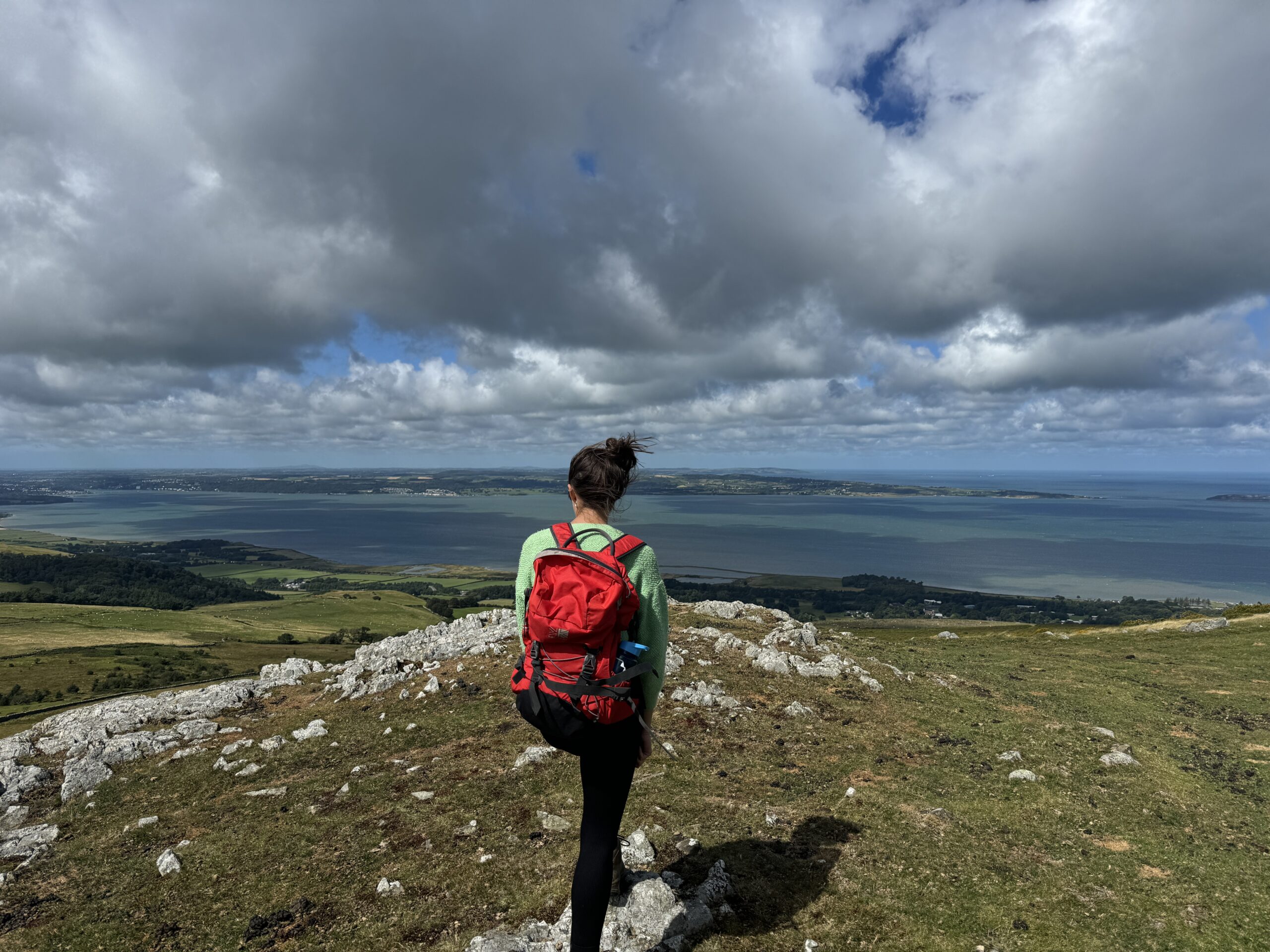
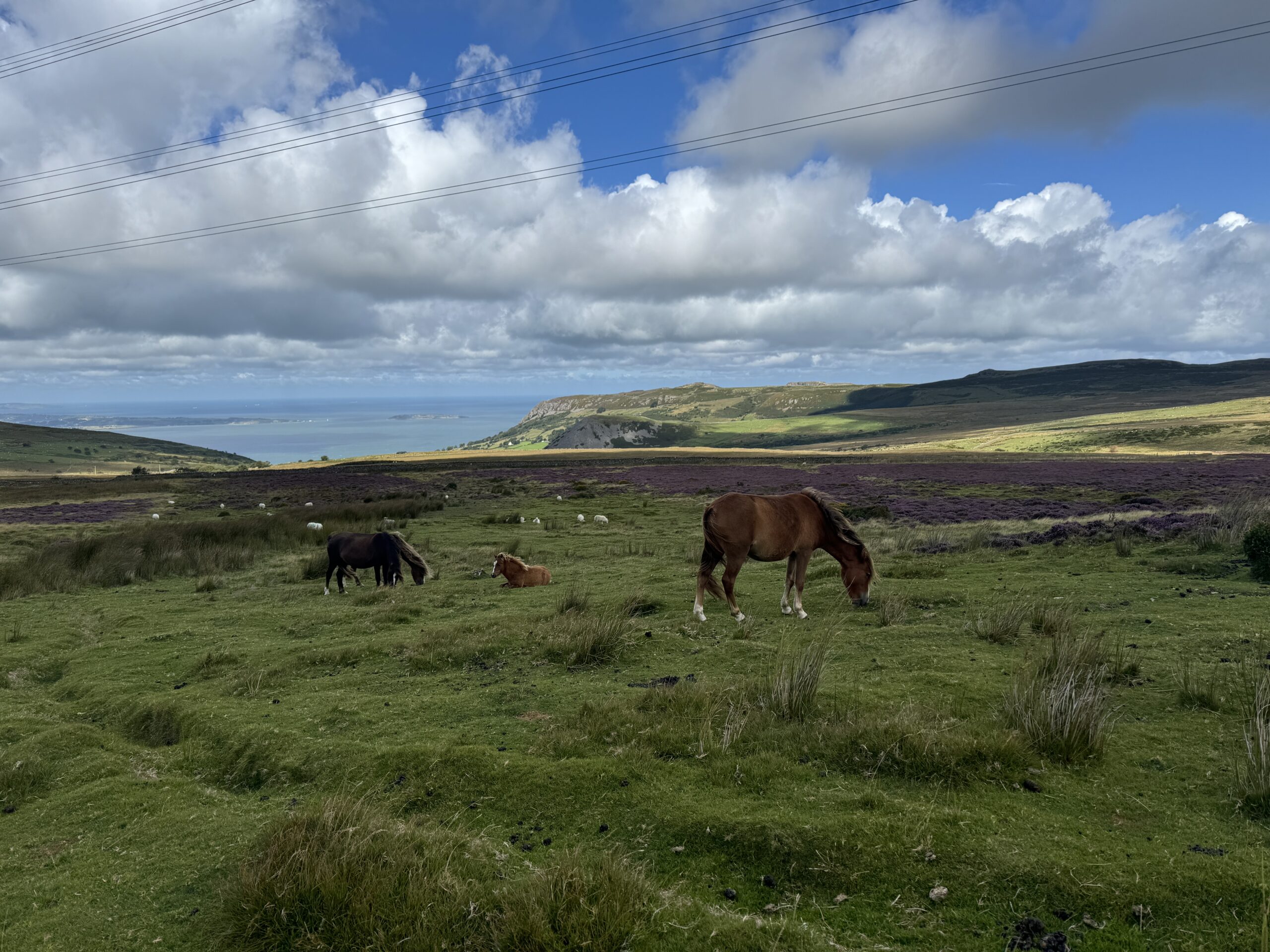
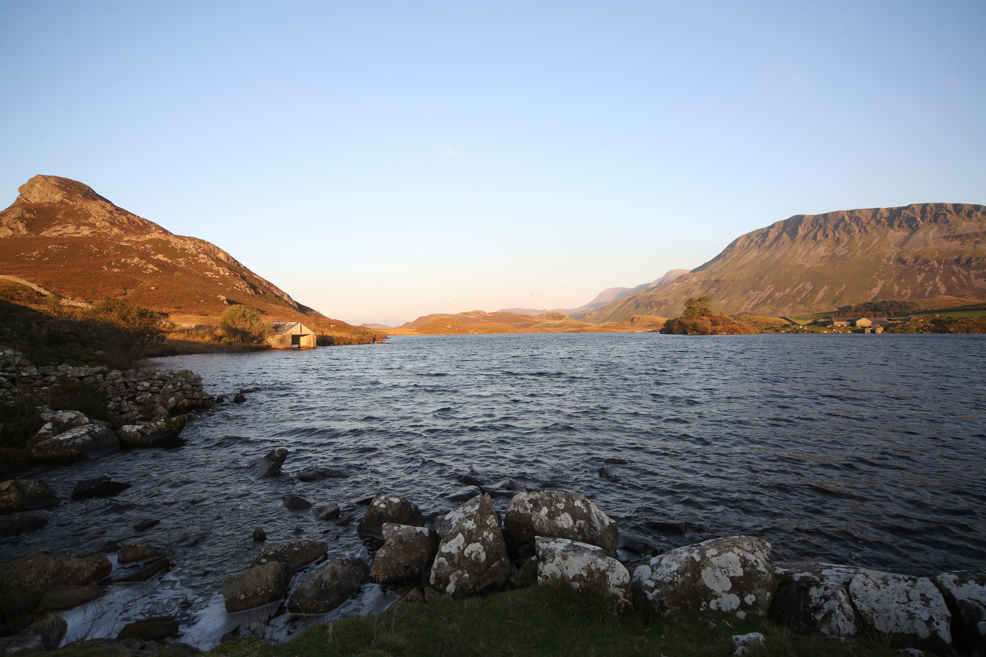
This walk rises through heath and moorland to far-reaching views over the Carneddau, the Menai Strait and the North Wales coast.
It also passes through a landscape shaped by centuries of human activity, with archaeological features stretching back to the Stone Age.
Why this path?
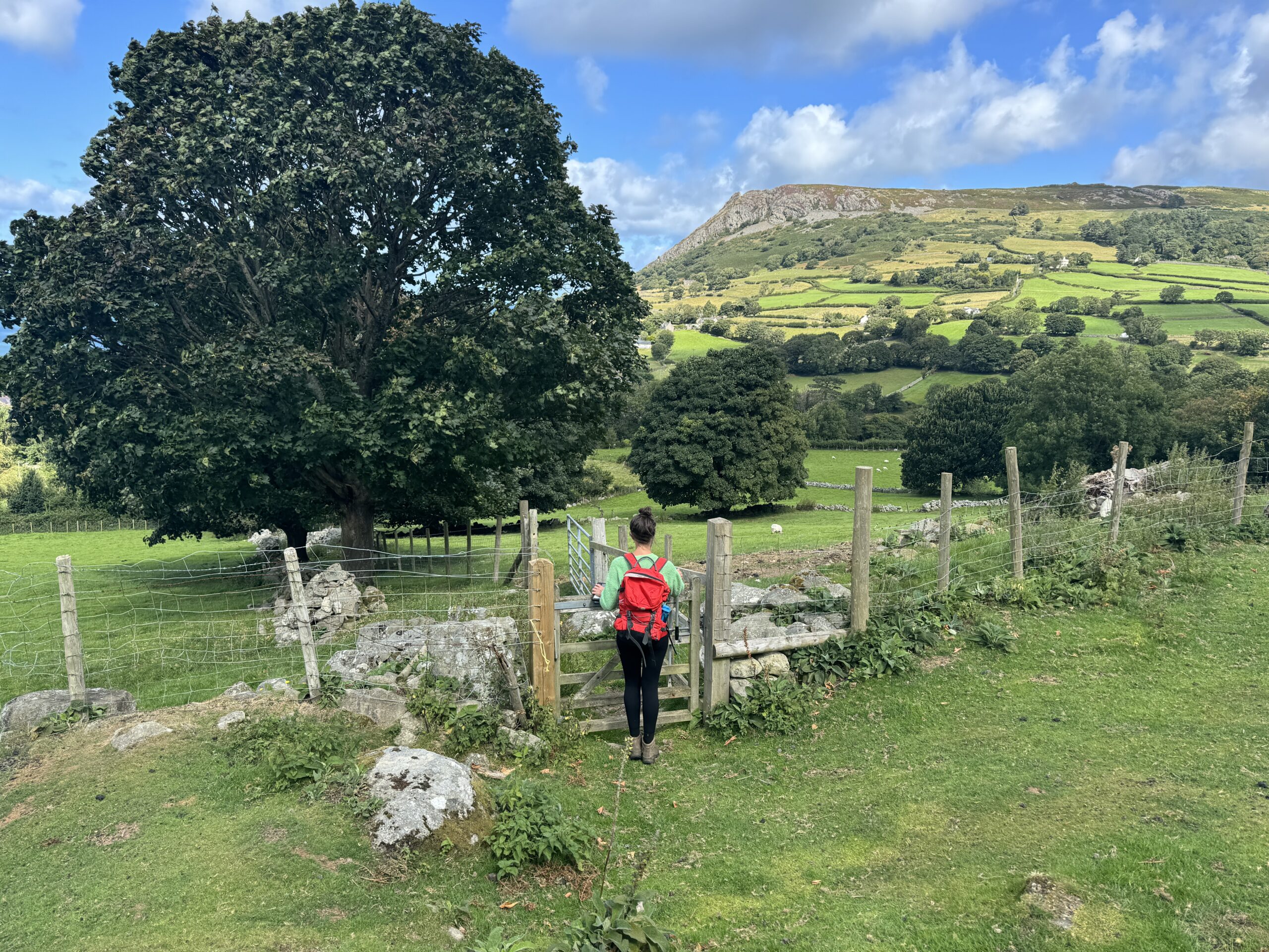
If you’re looking for an adventure that feels wild without being overly challenging, this upland circuit is an ideal choice. The route climbs from the upper edge of Llanfairfechan to the very foot of the Carneddau mountains, opening up spectacular views across both coast and upland.
The walk also passes several notable archaeological features, including remains of early settlement and activity across the hillside.


© Crown copyright and database rights OS AC0000825604. Use of this data is subject to terms and conditions.
The National Park Authority has categorised this route as a moderate route. It is suitable for people with some countryside walking experience and a reasonable level of fitness. The terrain will include some steep or unsurfaced paths in the open countryside. Walking boots and waterproof layers are essential.
Relevant OS Map: OS Explorer OL17
Start/finish grid reference: SH 698 736
Always park in designated parking places and never in areas where you block entrances to fields, residential areas.
Three Streams Car Park
View on What3Words
View on Google Maps
Stay safe and help protect the countryside by reading the information about safety and following the Countryside Code.